
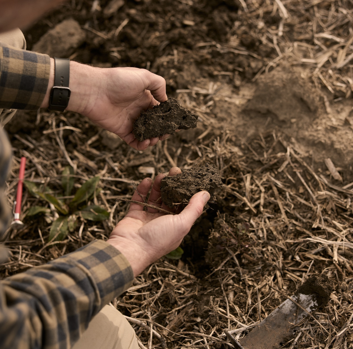
Illinois is known for having some of the best soils in the world. But what makes our soils so fertile and productive for crop production? And how can researchers, farmers and conservationists ensure it remains productive for generations to come?
The Ice Age
More than 300,000 years ago, four glaciers made their way into Illinois during the Ice Age. The ice flowed down from Canada due to the sheer weight of the ice layers—up to 8,000 feet thick.
During this colder period, snow did not melt in the summer, and as the glaciers advanced into Illinois, they ground up rocks and boulders along the way. The last two glaciers stayed in Illinois until around 13,000 years ago.
When eventually the climate warmed and the glaciers receded, they left an average of a 100-foot-thick layer of sediment composed of clay, sand, gravel, pebbles and rocks, known as glacial till. Loess, or silt-sized particles deposited by the wind, then covered this till in a mantle across most of Illinois, even reaching a depth of more than 20 feet in some places. Loess is rich in minerals and retains moisture, making it good for growing crops.
Overall, the glaciers were concentrated in the central and northeastern regions of Illinois, which flattened the landscape and left behind generally rich soil. In contrast, the glaciers did not reach the far northwest and southern areas of Illinois, which remain hilly and forested.
Illinois Soils
Soil is a natural resource composed of three mineral particles: sand, silt and clay. Soil formation can take hundreds of thousands of years, and its’ properties depend on the geology and climate.
Two soil taxonomies, or soil classifications, make up the majority of soils in Illinois.
Mollisols make up 43% of soils in Illinois. These develop from the decomposition of prairie plants and can be 10 or more inches deep.
Alfisols make up 45% of soils in Illinois. These develop thick black topsoils from the decomposition of prairie vegetation. They are primarily found in the southern third of Illinois due to less recent glaciation.
Overall, 89% of the total acreage in Illinois is considered prime farmland.
Exploring Changing Soils
A few years back, an old storage barn on the University of Illinois Urbana-Champaign campus was scheduled for demolition. Inside that barn were over 8,000 soil samples, mostly in jars.
Those samples were not new, in fact, the oldest sample was taken in 1861—the same year the American Civil War began.
Altogether, the samples represent more than 600 soil types, all 102 Illinois counties and 27 million acres of cropland.
That discovery led to the creation of the Illinois Centennial Soil Archive Project, and at the helm is Dr. Andrew Margenot, Professor of Soil Science at the University of Illinois.
To start the project, from 2019-2022, the soil collection had to be reorganized into a physical and digital library. Funded by Illinois Nutrient Research & Education Council, the research team was able to conduct the arduous work of reviewing historic notebooks and jar-enclosed identification cards for geolocation of samples, identify the locations the samples were originally taken from.
Since 2023, Margenot’s team has been working to resample all 462 locations to see how the soils have changed over time. These locations are primarily on private lands in corn-soybean fields.
Currently 157 of 463 locations have been sampled, and 111 more locations have given their permission to sample. That means there are 206 locations or 42% left to be sampled. This is where farmers and other landowners can help.
“Thanks to the generosity of landowners and operators, we’ve been able to resample sites that were originally sampled as far back as the late 1800s,” said Margenot. “The scale of this effort is the first of its kind in the world and builds on millions of man-hours of work and forward thinking by our predecessor. We hope to continue that legacy but need the support of Illinois agriculturalists to make it happen.”
Farmers and landowners can scan the QR code and ‘click through’ to see if a property they own is one the team is asking permission to sample.
The actual sampling procedures the team employs at the sites cause minimal disturbance. It involves a one-and-a-half-inch diameter probe to sample soils at three feet deep, at three points within a 10–15-foot area. All of the resulting soil data is then provided to the farmer/landowner and the location would only be reported on a county level.
Moving Forward
The Soil Archive Project Team has been on the move. Altogether, they have traveled more than 15,000 miles, collected nearly three tons of soil and created over 250,000 data points from the resampled sites. Identifying and gaining permission to access the sites is only the beginning of the soil testing journey. The process includes resampling, processing, sectioning, preparation and analysis. Through this research, the team is able to identify soil qualities like water content, bulk density, air drying and grinding.
The insights gained from resampling these sites are numerous: Updates to the Illinois Agronomy Handbook, updates to our state’s soil resource base and overall improvements in soil fertility management and conservation recommendations.
“What we will find from comparison of the then-and-now of these soils across our state will provide fundamental insights to soils in general, and to soil fertility and management specifically,” said Margenot. “Plus, landowners are provided personalized reports with an estimated $6,000 value in soil analyses for their resampled land, and a comparison to how it has changed since the original sampling.”
Recent Articles
Strategic partnerships are expanding opportunities for Illinois soy. From cutting-edge university research to global market development, these collaborators are boosting demand and driving value.
By
Learn how good transportation makes for good economics.
By Todd Main, Director of Market Development, Illinois Soybean Association